Mazarine Climate
Technology focus

What are decision-makers spending money on?

Core to our thesis: you can't manage what you don't measure — and you can't act on what you can't model. We invest across three layers of the hydroclimatic risk stack: the technologies that see, the technologies that understand, and the technologies that act.

Tech stack

AI-native, built on the Industry 4.0 toolbox.

Effective AI is only as good as the data it learns from. We back the sensors, satellites, and drones producing high-resolution ground-truth data — and the AI, digital twins, and decision software consuming it — that together are reshaping how owners and operators manage hydroclimatic risk.

Satellite imaging Earth's water systems
Satellites
In-situ monitoring buoys on a dock
Real time monitoring
Drone inspecting infrastructure
Drones

Innovations that produce data of high spatiotemporal resolution.

Analyst reviewing a time series trend on a monitor
Advanced Analytics
Digital twin of a pipeline network
Digital twins
Engineer next to a river checking his phone
Decision support software

Innovations that consume data to generate insights.

01
See

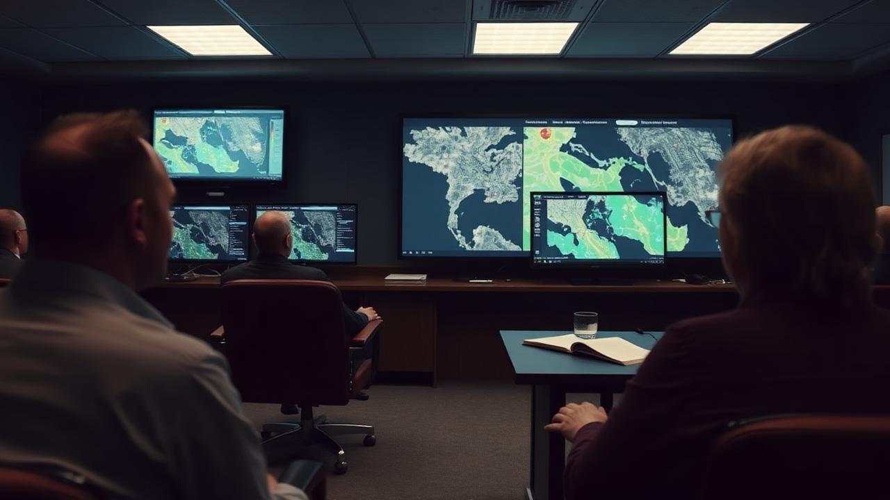
Sensing & observation

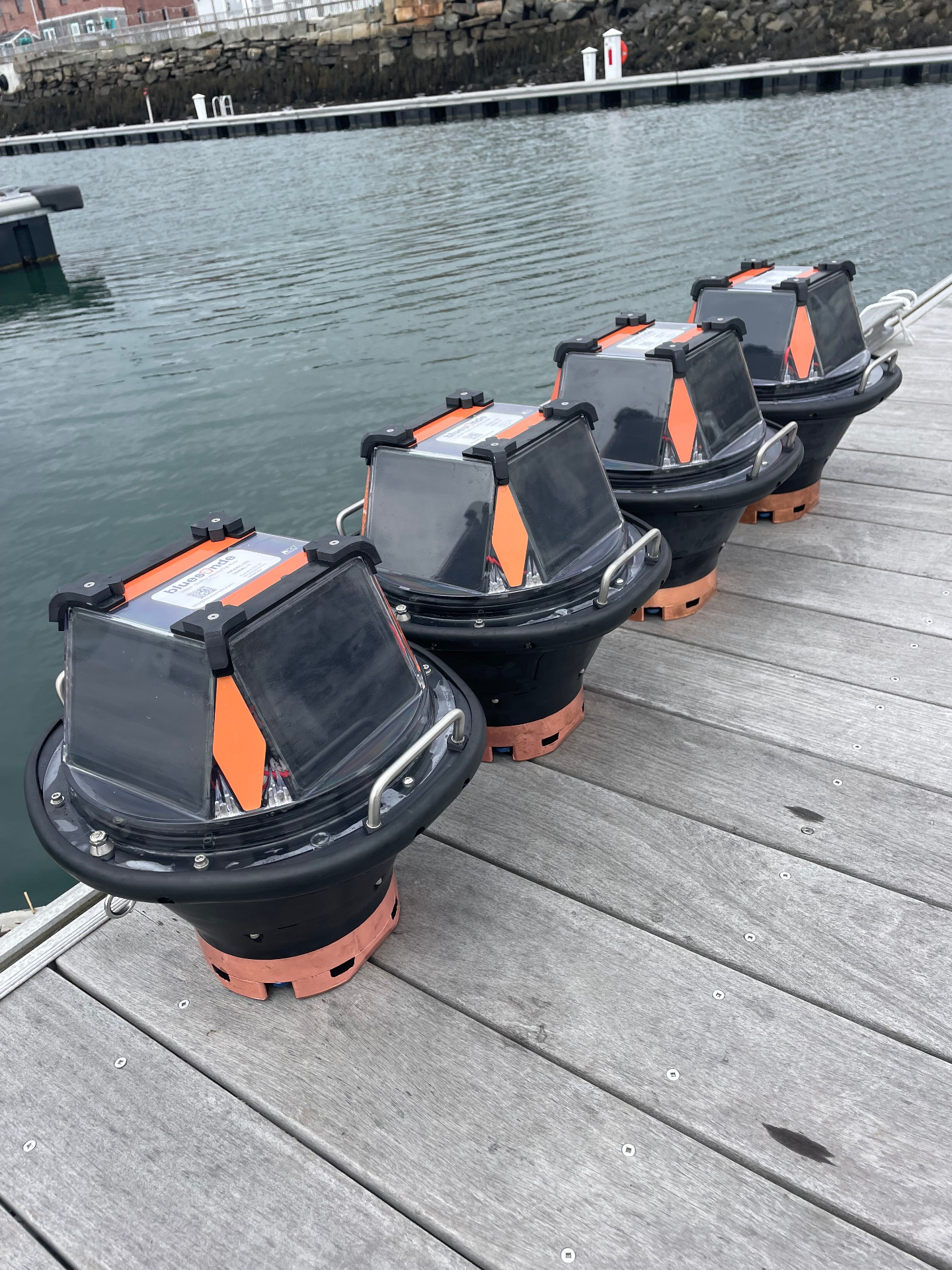
Technologies that generate high-resolution, spatiotemporal data on hydroclimatic conditions — the foundation of any AI-oriented adaptation strategy.

  • · Earth Observationsatellite imaging & radar for hydroclimatic change detection
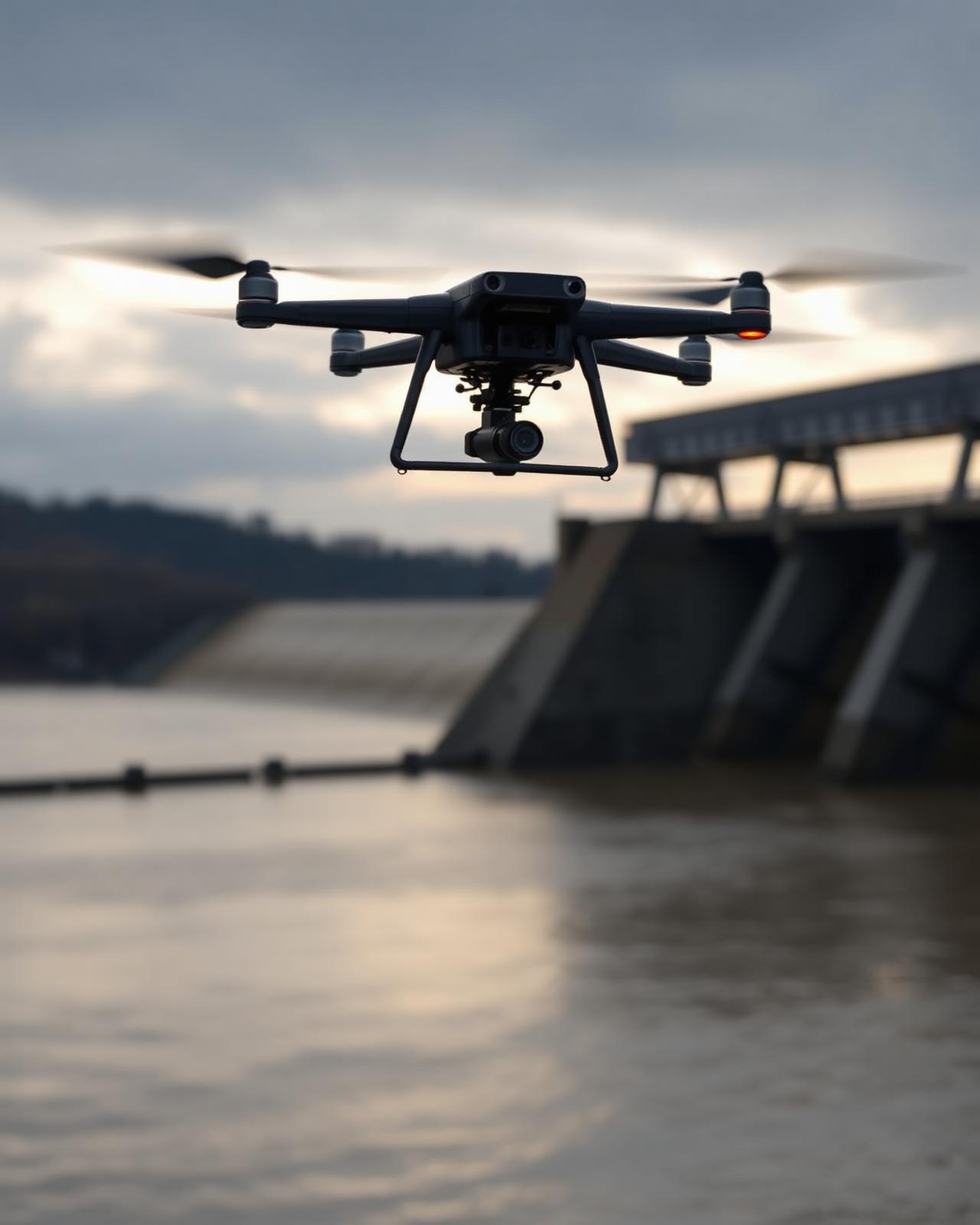
  • · Real-Time Remote Sensingground-based LiDAR, radar, and multispectral sensors
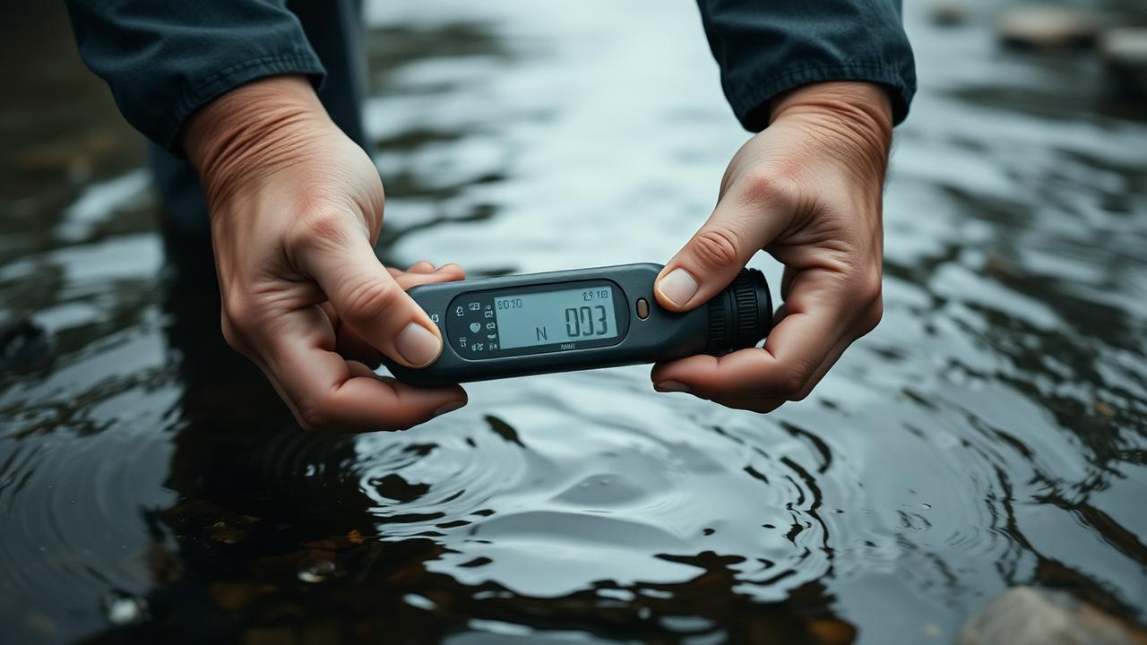
  • · In-situ IoT & Field Networksdistributed sensors and portable diagnostics
  • · Edge Computingon-device processing for low-latency, offline-capable decisions
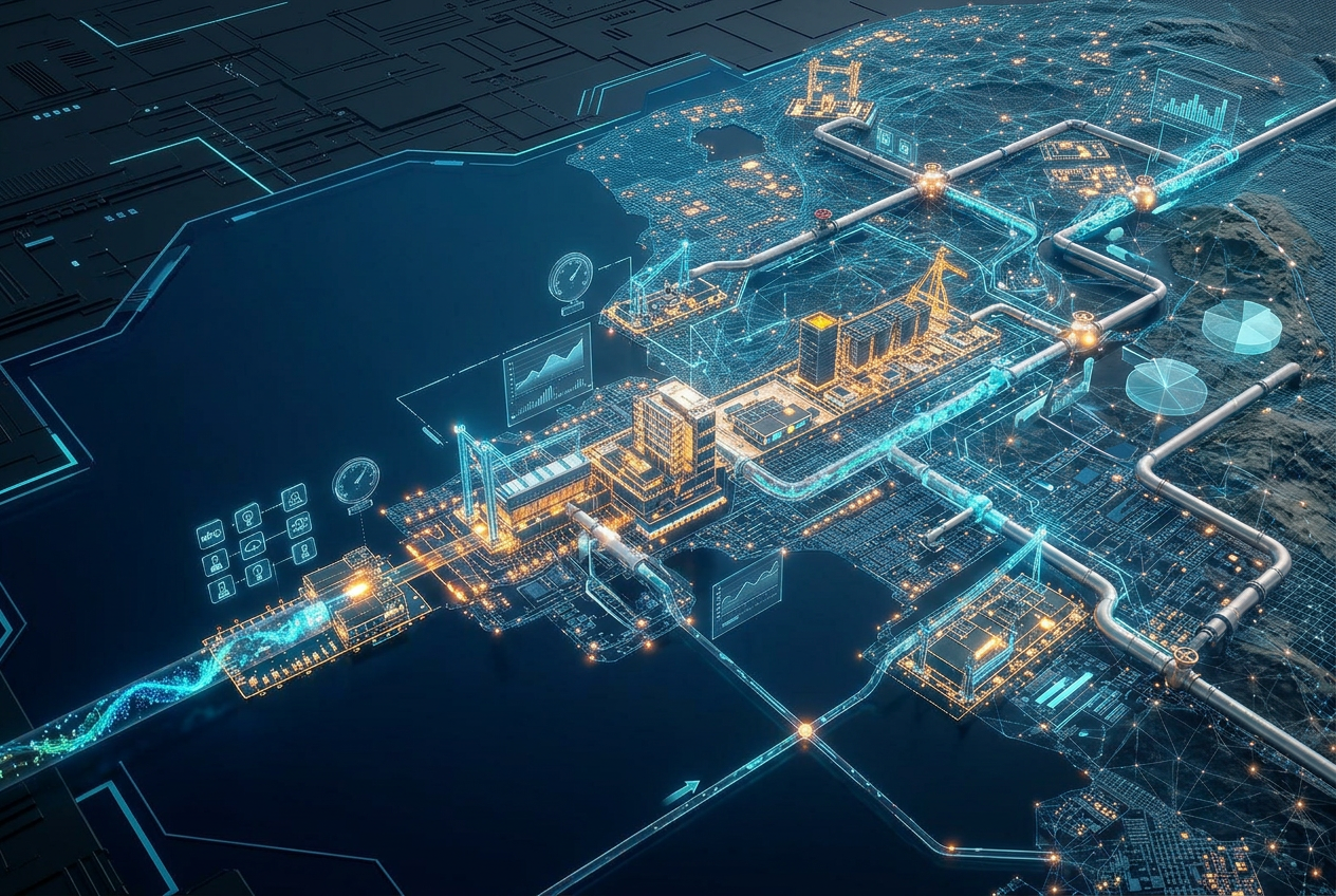
  • · Advanced Data Fusionintegrating satellite, sensor, model, and historical datasets
02
Understand

Analytics & prediction

AI-native models that translate raw signals into asset-, basin-, and portfolio-level risk — at the cadence decisions actually move.

  • · Physics + AI Modelshybrid hydrology, atmospheric, and oceanographic models
  • · Predictive AI & Simulationforecasts conditions and models infrastructure response
  • · Digital Twinsvirtual replicas of assets updated continuously with live data
  • · Risk Analytics & Cat-Modellingprobabilistic, auditable risk quantification for insurers, lenders, operators
  • · Explainable AI (XAI)transparent outputs for high-stakes underwriting and regulation
03
Act

Decision & automation

Software, marketplaces, and infrastructure that route capital and operations toward resilience — turning insight into action where decisions actually happen.

  • · Decision Support Systemsscenario planning, resilience scoring, ops workflow tools
  • · Underwriting & Capital Copilotsembedded in insurance, lending, and treasury workflows
  • · Risk-Transfer Infrastructureparametric pricing engines, trigger data, cat-bond plumbing
  • · Early-Warning & Emergency Responsealerting, dispatch, and crisis-coordination platforms
  • · Adaptation MRVmeasurement, reporting, and verification for resilience outcomes
Industry 4.0, applied to hydroclimatic risk

Three reasons data, sensing, and intelligence are the right place to invest.

Hydroclimatic risk is the variable repricing assets, communities, and policy worldwide. The leverage point is no longer concrete and steel — it's the information layer that tells operators, regulators, and households what is actually happening, and what to do about it.

If you can't measure it, you can't manage it.
01
Measure

If you can't measure it, you can't manage it.

Hydroclimatic risk has historically been managed with averages, design-storm tables, and decade-old return-period assumptions — at exactly the moment those assumptions stopped holding. Modern sensing turns that on its head: continuous, asset-level, ground-truthed data is what lets operators, underwriters, and engineers actually quantify what's changing and act on it.

Examples · river-gauge and groundwater networks · satellite-derived soil moisture and surface-water extent · culvert and bridge-scour sensors · LiDAR floodplain mapping · IoT pressure and flow telemetry across linear assets
Better data makes for better policy and advocacy.
02
Inform

Better data makes for better policy and advocacy.

Adaptation budgets, building codes, zoning rules, insurance frameworks, and disaster-response doctrine are all downstream of the data and models policymakers trust. When the underlying evidence is high-resolution, transparent, and current, the resulting rules are sharper, fairer, and harder to politicize away.

Examples · updated FEMA and national flood maps · climate-adjusted catastrophe models for solvency regulators · municipal heat- and flood-equity dashboards · transparent attribution science for litigation and disclosure · open data backing NGO and community advocacy
Democratized risk data helps the proverbial little guy.
03
Democratize

Democratized risk data helps the proverbial little guy.

The largest insurers, governments, and infrastructure owners already have climate-risk teams. Everyone else — smallholders, small businesses, municipalities, frontline communities — is flying blind. Pushing accurate, localized, easy-to-use hydroclimatic information to the edge is how more of humanity gets to prepare for, adjust to, and ultimately deal with water-related risk in our new climate reality.

Examples · mobile early-warning alerts in local languages · parametric microinsurance for farmers and fishers · neighborhood-scale flood and heat dashboards · low-cost sensor kits for community science · open APIs for small lenders, NGOs, and local governments
Newsletter

Subscribe to our newsletter.